Delivering geospatial mapping and data solutions across NSW and Australia.
Get a QuoteAt Aeris Spatial, we help planners, developers, surveyors and consultants make smarter decisions with clear, high-quality mapping and spatial data solutions.
Based in New South Wales and working across Australia, we specialise in converting complex geospatial data into clean, practical outputs — from subdivision layouts and planning overlays to site visualisations and GIS data processing. Whether it's for a DA submission in an urban area or a rural property subdivision, our mapping is tailored to real-world project needs.
Who we work with:
What we deliver:
Our focus is on speed, clarity, and collaboration — helping you meet deadlines, submit with confidence, and communicate your message and vision through effective spatial outputs.
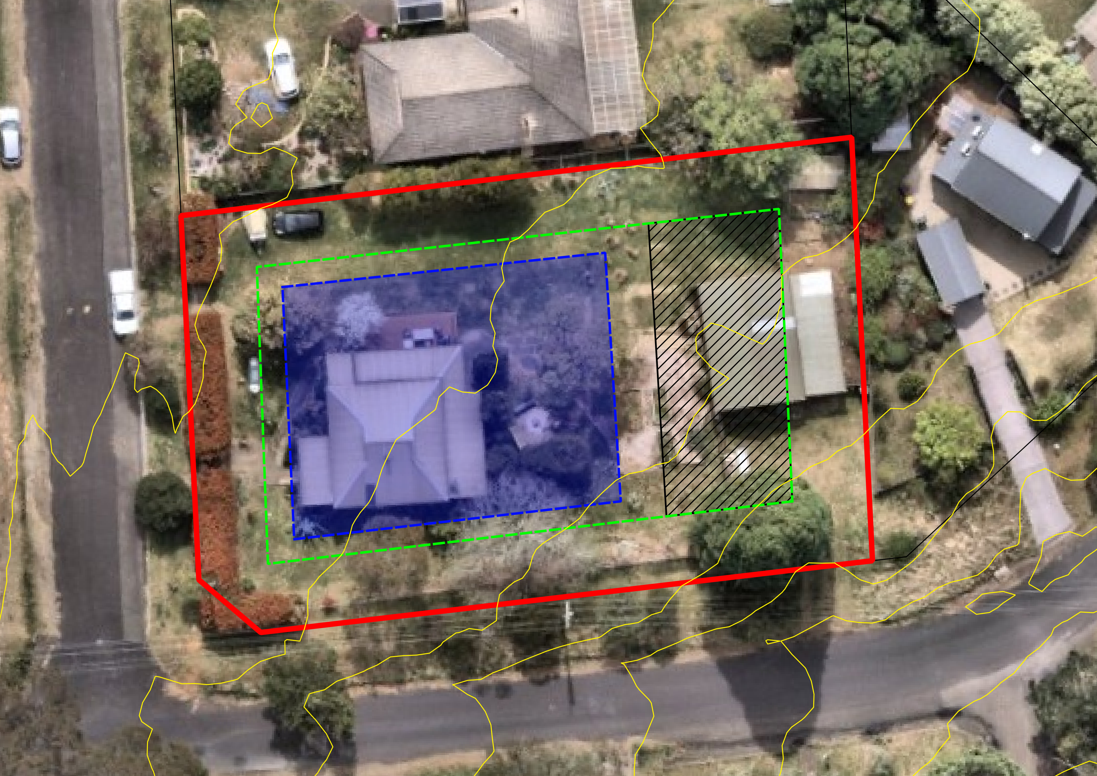
Detailed site plans with contours and services for DA submissions and urban planning.
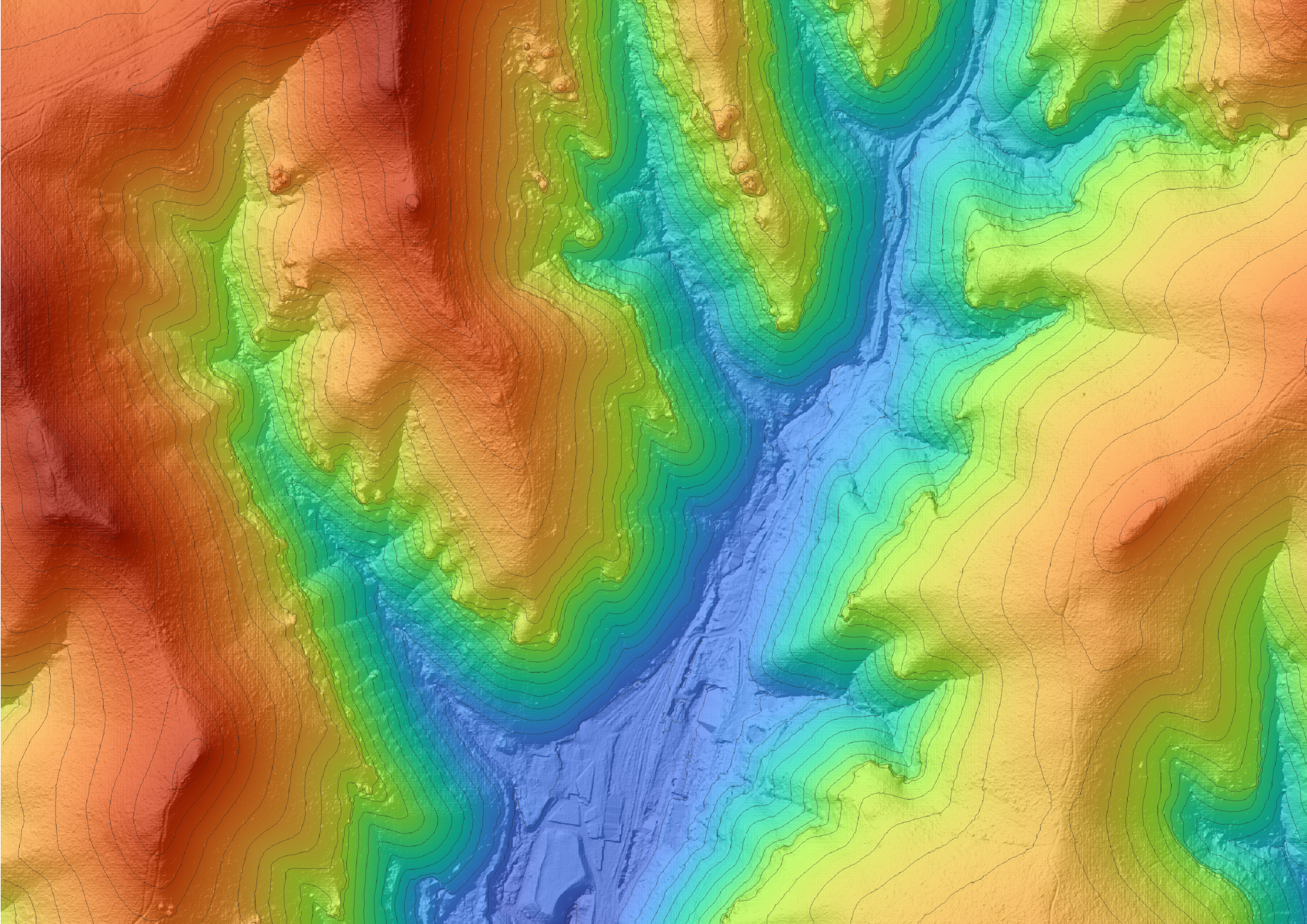
High-resolution topographic maps ideal for engineering design, slope and elevation analysis.
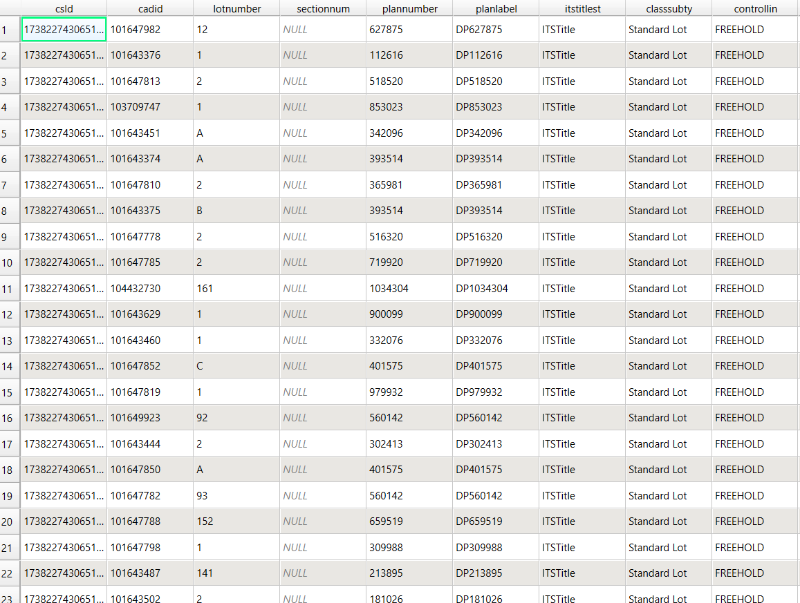
Attribute calculations, GIS data format conversion, data collation.
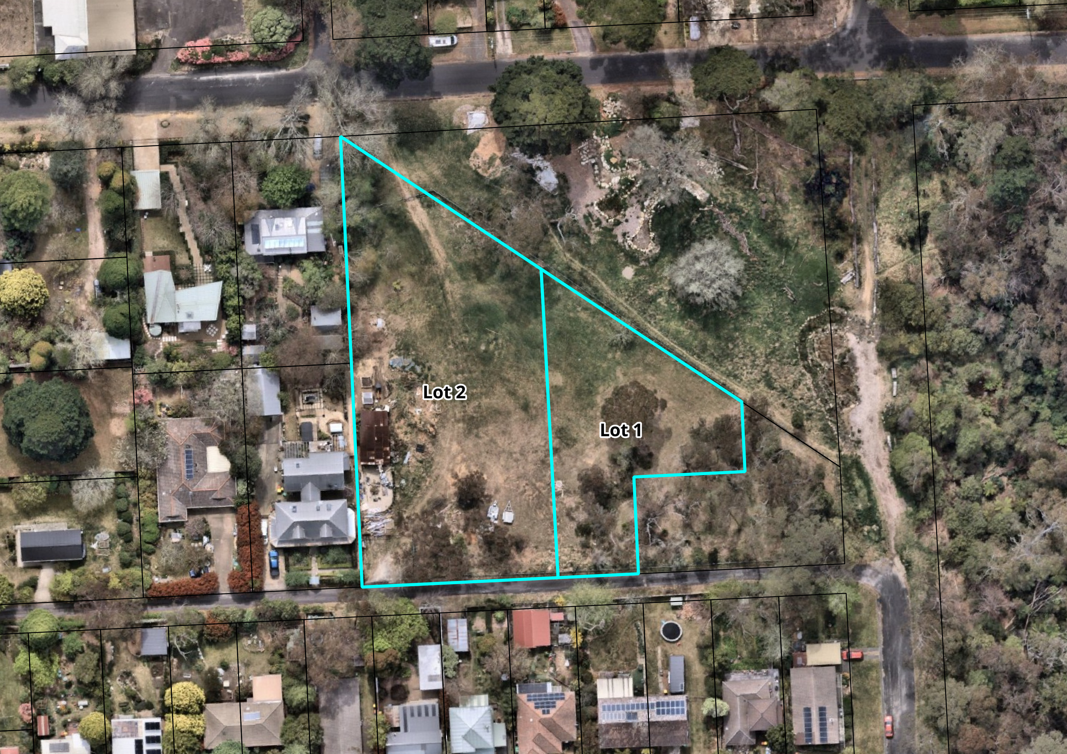
Cadastral base mapping and lot layout visualisation for town planning and land development.
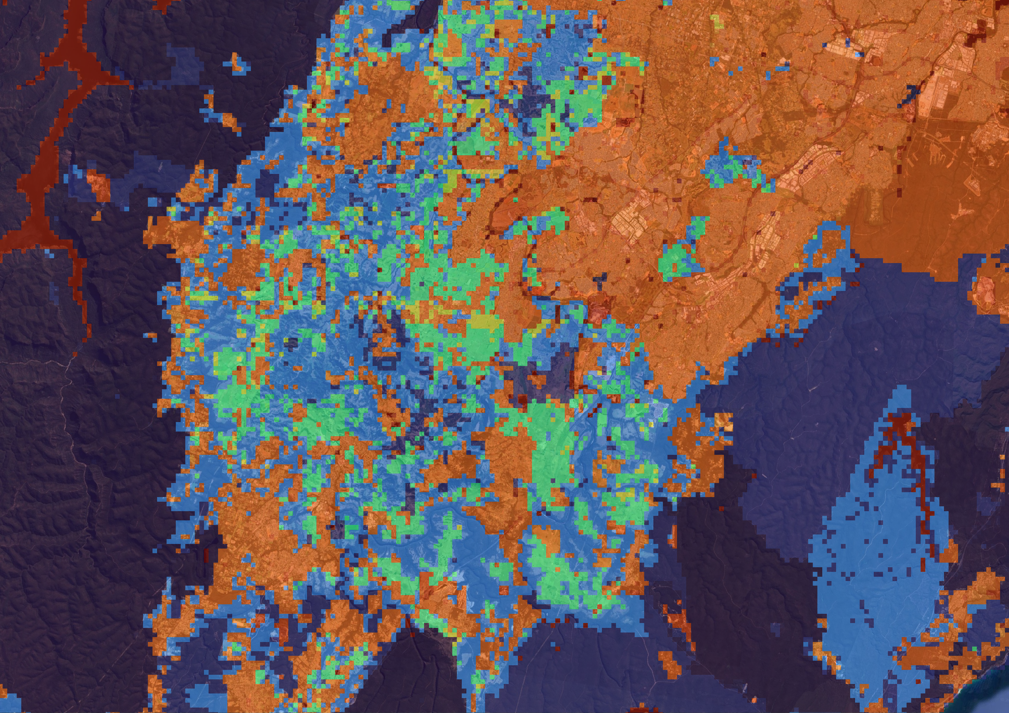
Spatial overlays for biodiversity, vegetation zones, floodplains, and ecological impact reports.
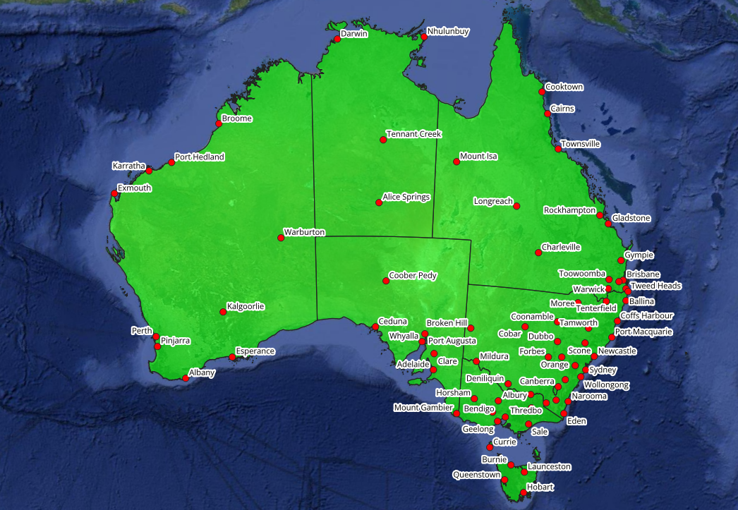
Custom maps for events, agriculture, reporting, tourism, or infrastructure proposals.
Let’s talk about your next project. Whether you're ready to get started or just have questions, do not hesitate to reach out.
We’d love to hear from you. You can reach us at:
info@aerisspatial.com.auWe typically respond within 1 business day.