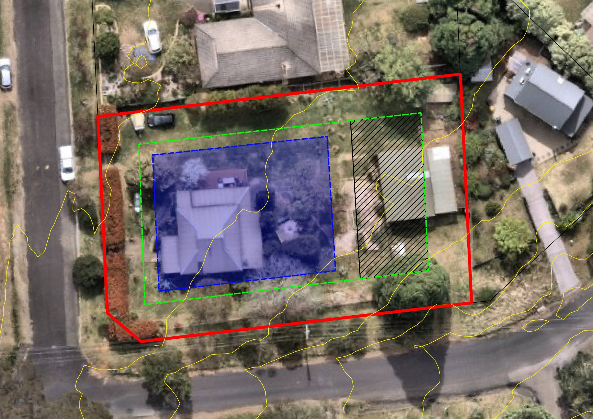
Examples of our professional mapping deliverables across Australia
Detailed site plans with contours and services for DA submissions and urban planning.
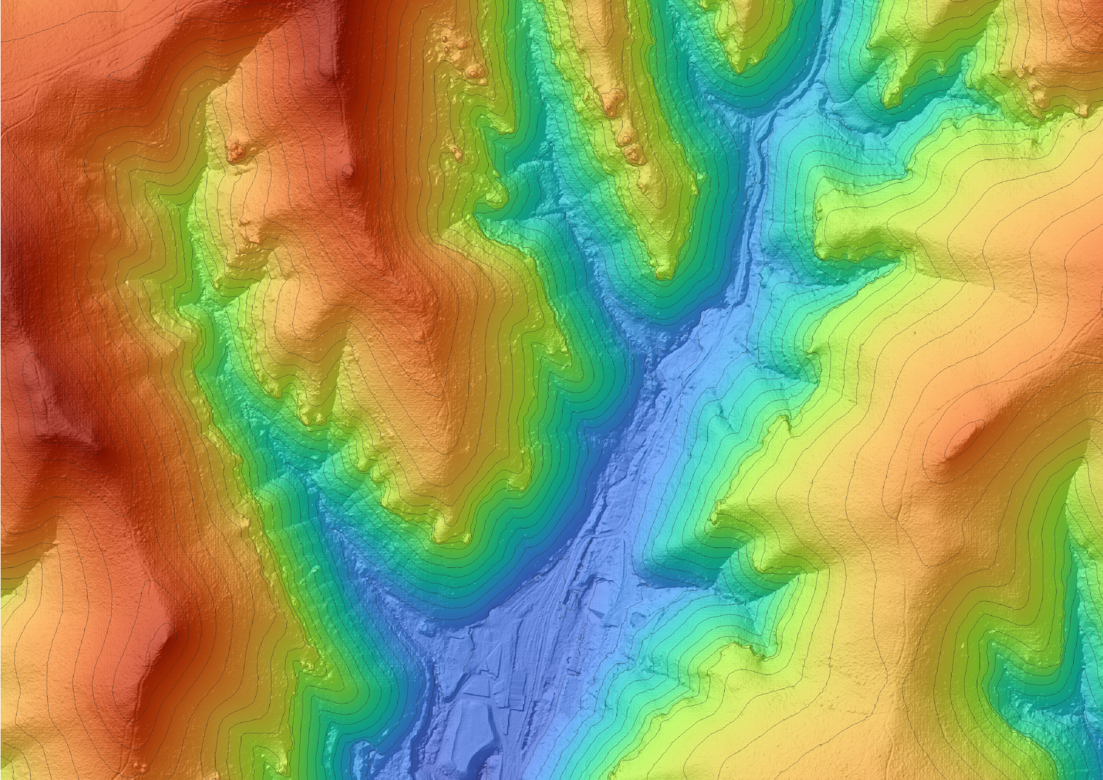
High-resolution topographic maps ideal for infrastructure design and elevation analysis.
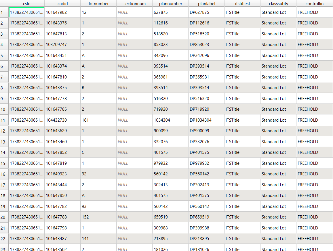
Attribute calculations, format conversion, and data collation services.
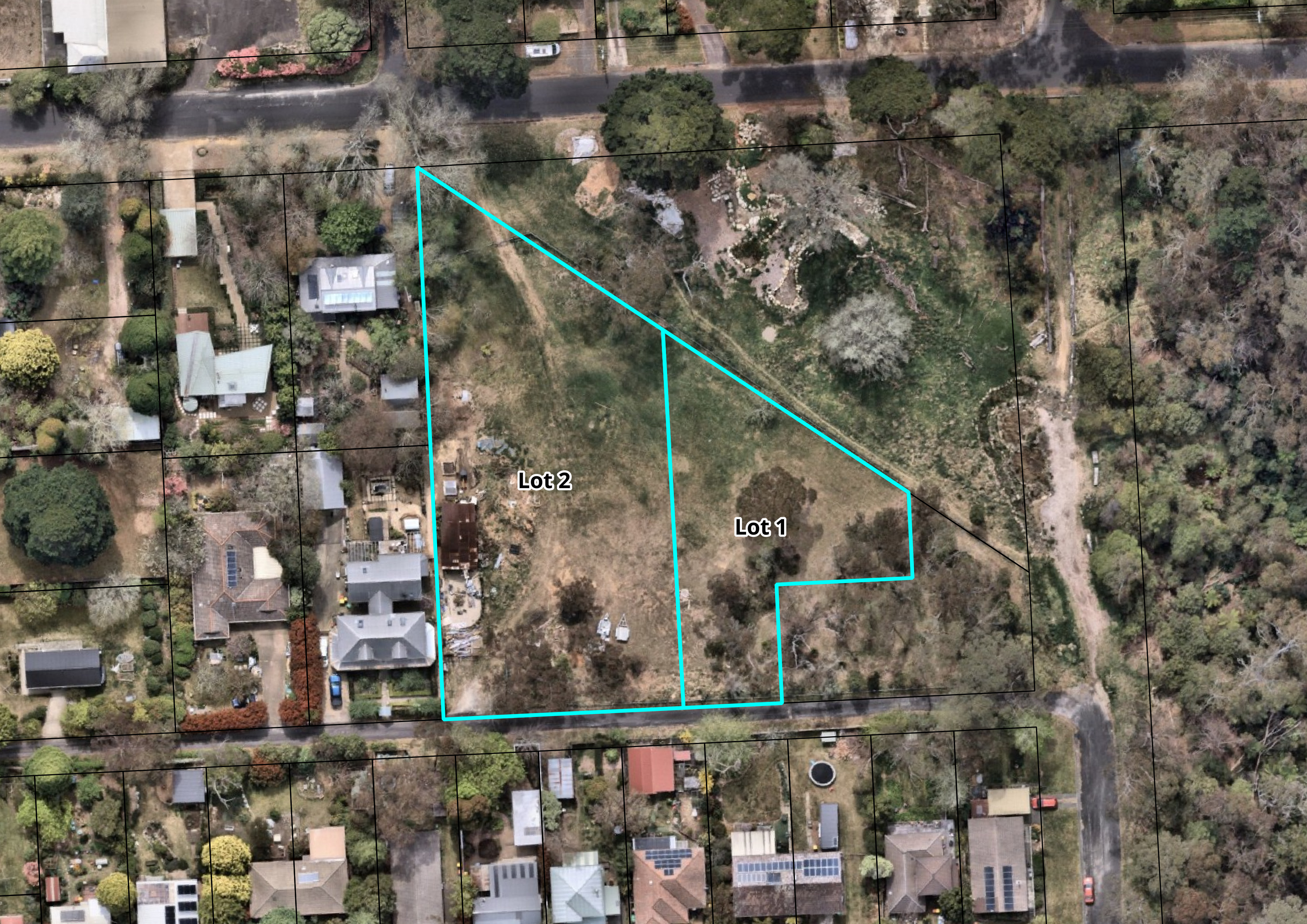
Cadastral base mapping and lot layout visualisation for land development.
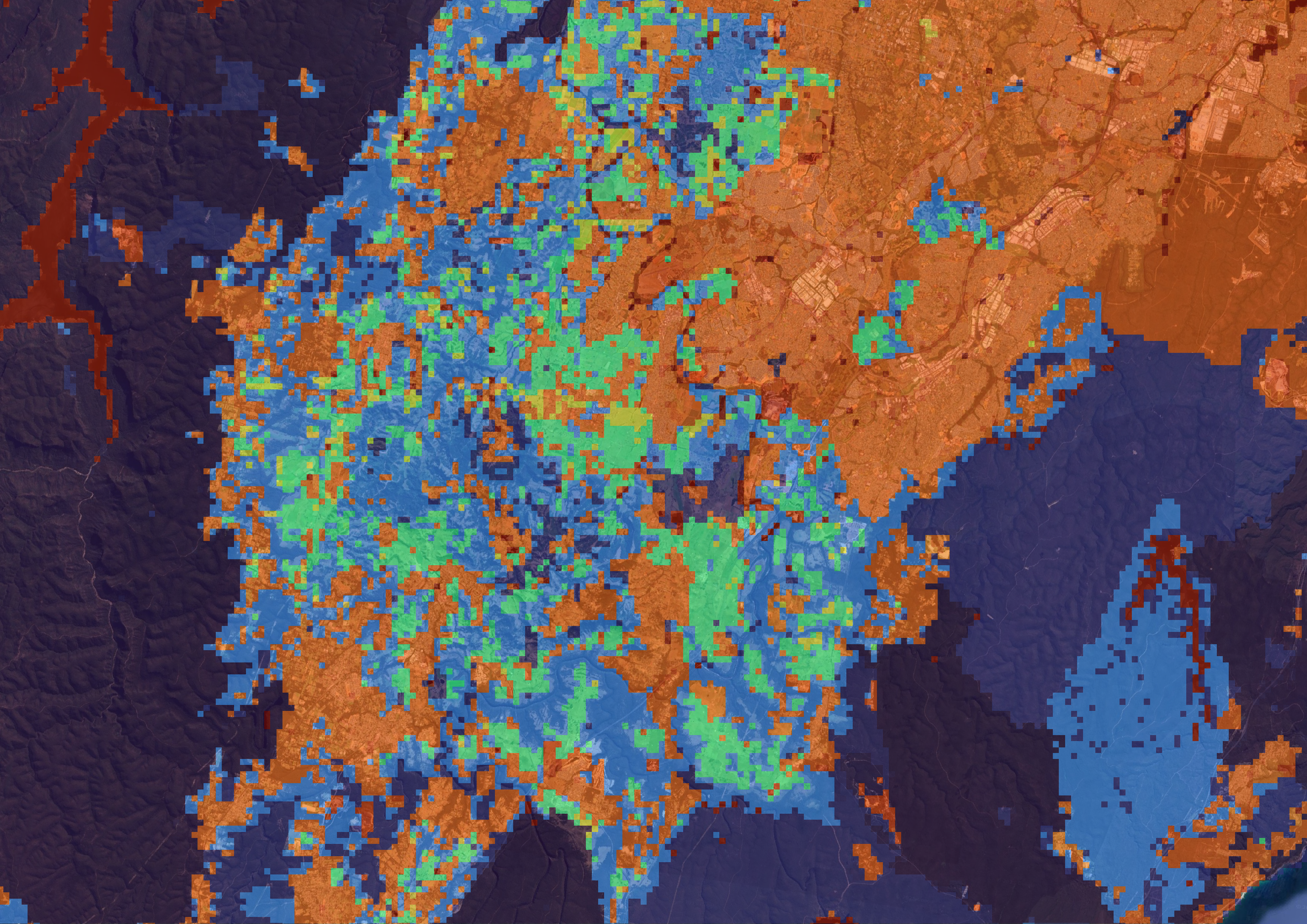
Spatial overlays for biodiversity, vegetation zones, and ecological reports.
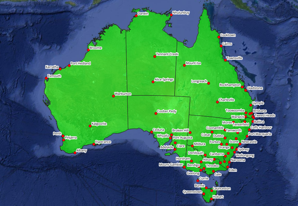
Custom maps for events, agriculture, reporting, tourism, or infrastructure.
A town planner engaged Aeris Spatial to prepare full planning and development mapping for a proposed six-lot residential subdivision in southern NSW. We prepared cadastral base mapping, proposed lot layout plans with dimensions and areas, planning overlay maps showing LEP zoning controls, and a context map of the surrounding street network. All mapping was formatted to council submission standards and delivered in PDF and Shapefile format. The DA was lodged with council within the week.
A rural real estate agent needed a high-quality property marketing map for a 320-hectare farm going to auction in regional NSW. Aeris Spatial produced a detailed overhead layout showing property boundaries, fencing, dams, buildings and yards, paddock divisions, and access tracks. The map was branded with the agent's logo and colour scheme and delivered as a print-ready high-resolution PDF within three business days, in time for the marketing campaign launch.
A surveying and infrastructure consultancy required detailed topographic mapping for a residential development feasibility study on the Central Coast. Aeris Spatial sourced and processed NSW LiDAR elevation data to produce 1m contour maps and a digital elevation model covering the entire site. We also generated slope analysis outputs and cross-section profiles along two drainage corridors. Outputs were delivered in Shapefile, GeoTIFF, and PDF formats, enabling the project team to proceed with their earthworks estimates and stormwater assessment.
A spatial data company in Western Sydney had an extensive infrastructure asset register stored in legacy DWG CAD files. Aeris Spatial converted over 40 DWG files to Shapefile and GeoPackage format, assigned coordinate systems, and cleaned attribute data across all layers. The completed GIS database was delivered within five business days, ready for immediate use in spatial analysis and reporting workflows.
A town planner preparing a planning proposal for rezoning of a rural-residential site in the Blue Mountains required comprehensive planning overlay mapping. Aeris Spatial produced site analysis mapping showing current zoning, SEPP constraints, bushfire prone land, and biodiversity overlays sourced from the NSW Planning Portal and state government datasets. The resulting map set provided the council planning panel with a clear spatial picture of the site's constraints and opportunities, supporting the planning proposal report.
Contact us for a fast, no-obligation quote on your next mapping project
Get a Free Quote →